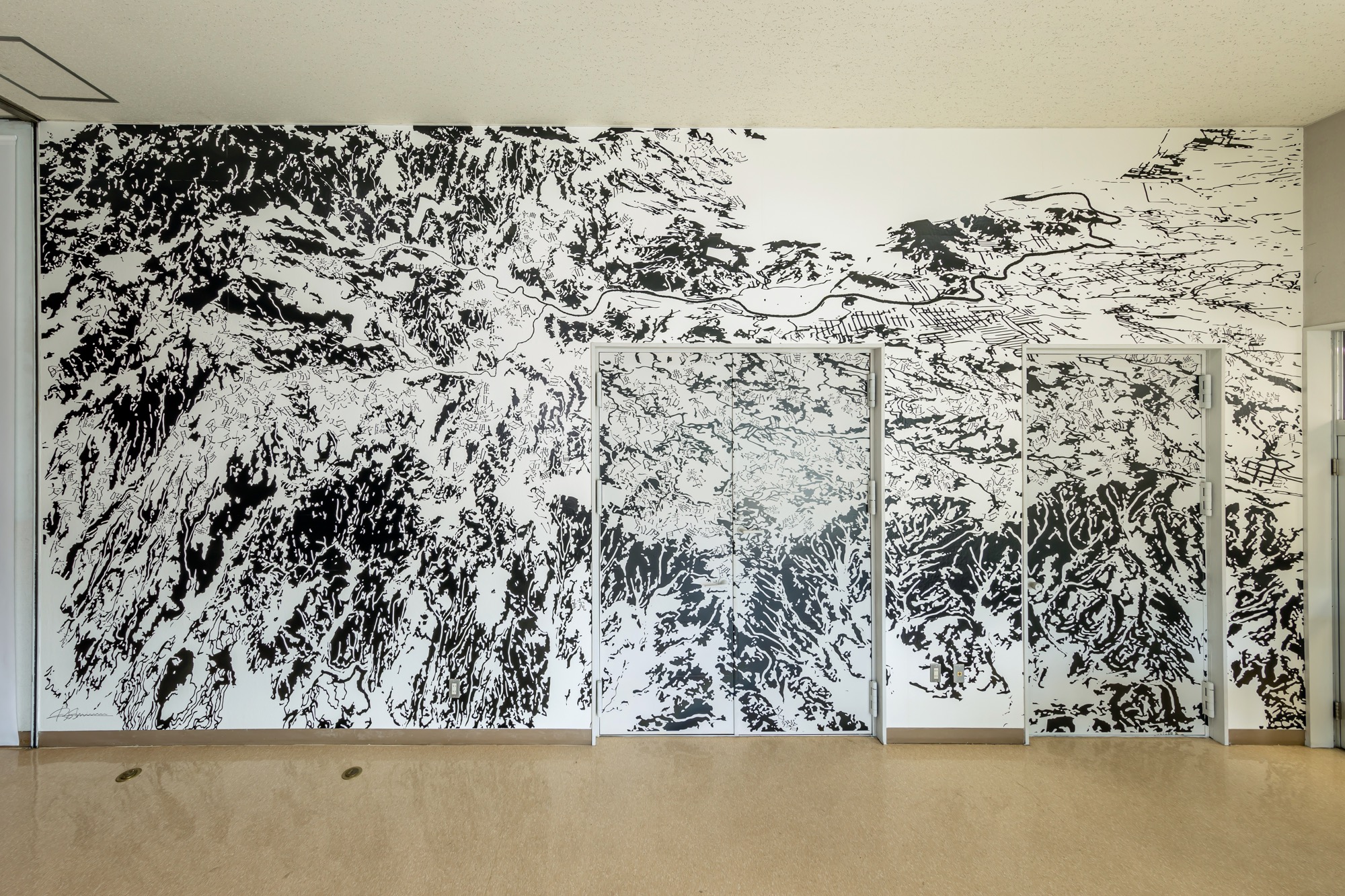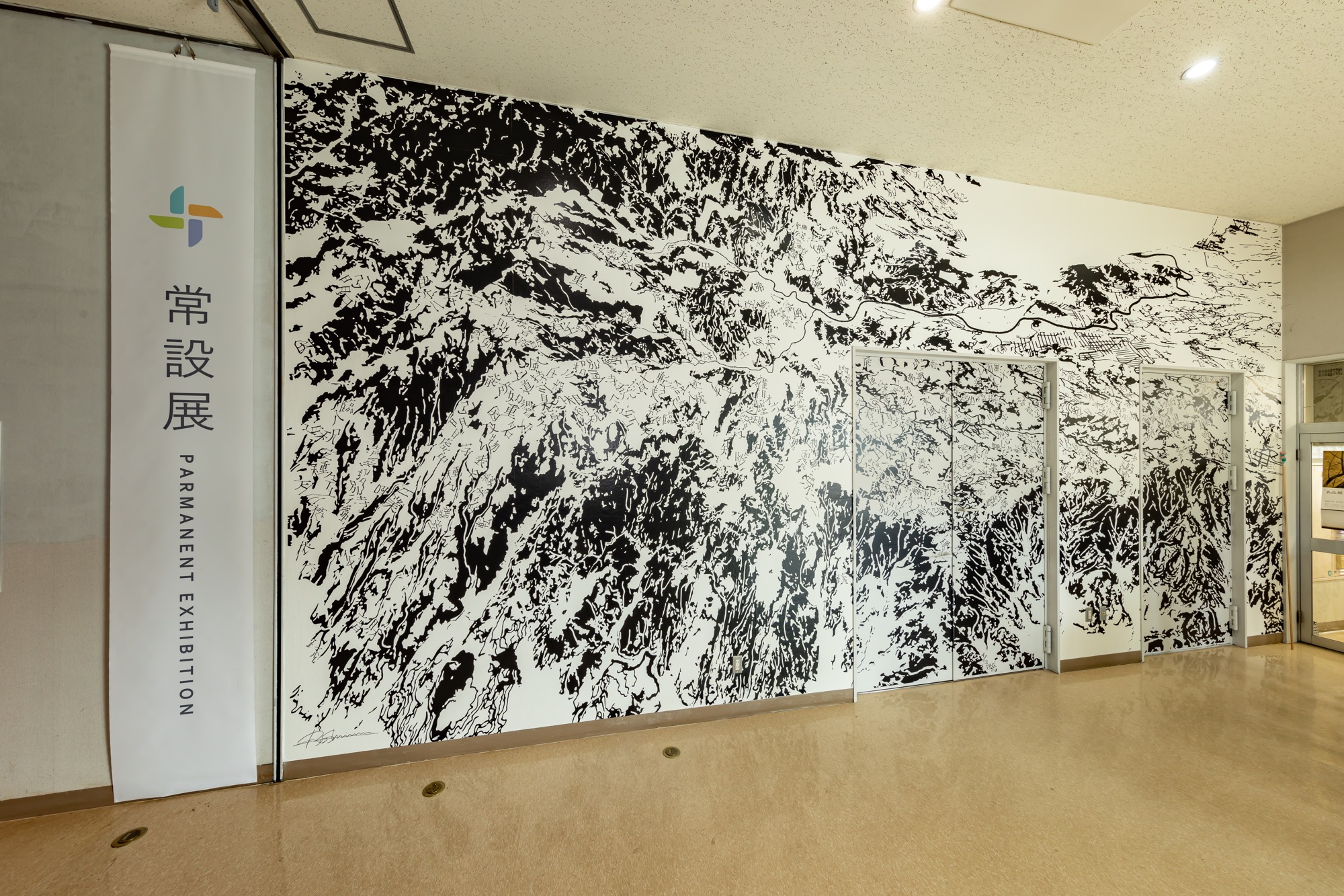

A bird's-eye view of Nakaizu "Shojijisso-gi"
中伊豆俯瞰図 -声字実相義-
[ Commissioned work ]
8,200 × 4,000 mm
PVC Sheet
2021
(Cooperation of map production:Masahiko ITO)
[ コミッションワーク ]
8,200 × 4,000 mm
カッティングシート
2021年
(地図制作協力:伊藤允彦)
From the fall of 2020, I began meeting about once a month with specialists from the Izu City Museum. This led to a request to create a wall-mounted installation that would become a permanent work of the museum.
Due to the nature of the museum, we thought the work should have a relationship with Izu and, if possible, also have a connection to the works in the Cliff Edge Project. I proposed a design that takes a bird's-eye view of the Izu Peninsula as its motif, performed live production during the exhibit period, and completed the work.
The bird's-eye view of Nakaizu depicts the topography of the Izu Peninsula centered on Nakaizu, particularly the chain of eroded mountains in a "J" shape surrounded by 13 volcanoes, the flow of water from those mountains, and the Omi River and the Kano River that flow northward to Suruga Bay. The artist (Shimizu) was in his mother's womb when his parents lived in Nakaizu, was then raised in Kagawa, then physically traveled about Izu in the process of creating the Cliff Edge project... Against this backdrop, the work reveals a scattering of brushstrokes that quote from the Shojijisso-gi of Kobo Daishi.
2020年秋から伊豆市資料館学芸員と月に一度を目安に打ち合わせを行うようになったことがきっかけで、資料館の常設作品となる壁面作品の制作を依頼されることになった。
資料館という施設の特性上、伊豆に関連する内容であり、かつ、可能であればクリフエッジプロジェクトの作品とも関係性をもつことができる作品であることが相応しいと考え、伊豆半島の俯瞰図をモチーフにした図案を提案し、展覧会期中に公開制作を行い、完成させた。
中伊豆俯瞰図には、中伊豆を中心にした伊豆半島の地形、特に13の火山に囲まれたJの字に連なった侵食された山々の連なりとそこから流れる水の流れ、大見川や狩野川が北上し駿河湾に流れていく様子が描かれており、かつて作家(清水)の両親が中伊豆に住んでいたこと、ちょうどその頃母親が自分を身籠っていたこと、その後香川で育ったこと、そしてクリフエッジプロジェクトの作品制作過程で自らの身体で伊豆を回ったことを背景に、弘法大師の声字実相義から引用した筆画があちこちに配置されている。